Profile
Location: Less than 30 minutes’ drive from Brisbane City
Description:
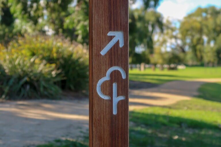
Mt Coot-tha offers a haven for runners with over 50km of trails catering to all abilities. Escape the concrete jungle and immerse yourself in the beauty of gumtrees and scenic lookouts. While not a towering mountain, the peak rewards you with stunning views encompassing Moreton Island, Stradbroke Island, and the southern ranges. The terrain is predominantly green and moderately hilly, providing a variety of challenges.
Highlights:
Diverse trails for all levels (flat to hilly)
Stunning panoramic views from the summit
Lush green surroundings
Moderate terrain
Numerous parking and picnic areas as trailheads
Difficulty: Varies depending on the chosen trail
Distance: Varies depending on the chosen trail (many trails under 2km)
Popular Running Trails:
Mt Coot-tha Summit Track (1.9 km): As the name suggests, this trail takes you directly to the summit, offering rewarding panoramic views at the conclusion.
Honeyeater Track (2.1 km): For those seeking a slightly more challenging option, Honeyeater Track provides a good workout.
Trail Guide:
Explore the complete list of over 70 trails with detailed information and ratings here: [invalid URL removed]. Many trails are short (under 2km), allowing you to combine them for a longer run.
Additional Tips:
Be aware of mountain bikers sharing the trails. Maintain awareness and practice courtesy.
J.C. Slaughter Falls picnic area is a recommended starting point for those unfamiliar with the area. Restroom facilities and picnic tables are available here.
Summary:
Mt Coot-tha provides an excellent escape for runners seeking scenic trails and a variety of challenges. With options for all abilities and beautiful surroundings, you’re sure to find the perfect route for your next run. Just remember to be mindful of mountain bikers and enjoy the stunning views!
Nearby Runs
Search all runs
Nearby parkrun

Run Clubs and Coaching Nearby