Profile
Distance: 9 km (trails), 12 km (full loop)
Difficulty: Easy
Surface: Paved (with some on-road sections)
The Adelaide Airport Trail Network is a collection of three interconnected paved trails offering a mix of scenic and industrial landscapes near Adelaide Airport. This 9km network is popular with commuters and cyclists, and runners can also enjoy this option with some considerations.
Highlights:
Varied terrain: parklands, lakes, grassy areas, and airport views
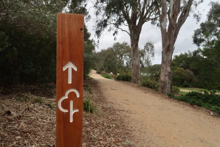
Well-signposted and relatively flat
Description:
The network consists of three trails: Anna Meares Bike Path, Reece Jennings Bikeway, and Captain McKenna Pathway.
Anna Meares Bike Path (1.7 km one-way): Named after a local Olympian, this path starts near IKEA and the airport terminal, traveling north-east to Tapleys Hill Road where it connects to the Reece Jennings Bikeway.
Reece Jennings Bikeway (4 km one-way): This southwards path commences at the River Torrens in West Beach and travels to Glenelg North. Be aware that 1km of this route utilizes a major road shoulder, making it less scenic. At the southernmost point, you can join the Captain McKenna Pathway after crossing Tapleys Hill Road.
Captain McKenna Pathway (3.9 km one-way): Starting from the intersection of Tapleys Hill Road and Warren Avenue/James Melrose Road, this path follows the airport’s southern boundary fence eastwards, ending at the Beare Avenue playground. This section offers excellent opportunities for plane watching.
To complete the 12km loop, take Transport Avenue, Lyons Avenue, and Clifford Street from the Beare Avenue playground back to the Anna Meares Bike Path starting point.
Add-Ons & Variations:
Explore the Adelaide Coast Park Trail upon reaching Glenelg.
Combine this route with other running options near Glenelg, such as Patawalonga Lake.
Note:
While mostly paved, some sections utilize busier road shoulders. Consider these sections when planning your run.
Nearby Runs
Search all runs


