Profile
Location: Approximately 35 minutes northwest of Brisbane
Description:
Bunyaville State Forest offers a haven for trail runners seeking a scenic escape from the city. This bush park provides a network of fire roads and single-track trails, primarily on gravel surfaces.
Highlights:
Mixture of fire roads and single-track trails (mostly gravel)
Scenic bush setting
Noteworthy for trail running, mountain biking, and horse riding (share the trails)
Difficulty: Varies depending on the chosen trail
Distance: Varies depending on the chosen trail
Description:
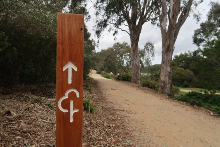
This guide recommends starting your exploration from the Bunyaville Picnic Area or the James Drysdale Reserve.
Our Suggested Route: A popular 5.7km (3.5-mile) figure-eight loop commences at the Bunyaville Picnic Area. This route winds along the fire breaks with some gentle undulations.
Add-Ons & Variations:
Mountain Bike Trails: If you’re feeling adventurous, consider venturing off the fire roads and exploring the park’s single-track trails dedicated to mountain biking.
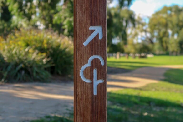
Trail Map:
Refer to this trail map [link to Bunyaville State Forest trail map] to discover additional options and choose a trail that suits your preferences and experience level.
Note:
Be aware of mountain bikers and horse riders sharing the trails. Maintain courtesy and practice safe running etiquette.
Download a copy of the trail map for offline reference during your run.
Remember, mobile phone reception may be limited in certain areas of the park.
Nearby Runs
Search all runs
Nearby parkrun
Run Clubs and Coaching Nearby

")
